


The Annapurna Circuit takes you deep into the Annapurna mountains, a spectacular portion of the Himalayas with some of the world's highest mountains, including Annapurna I in spot #10.
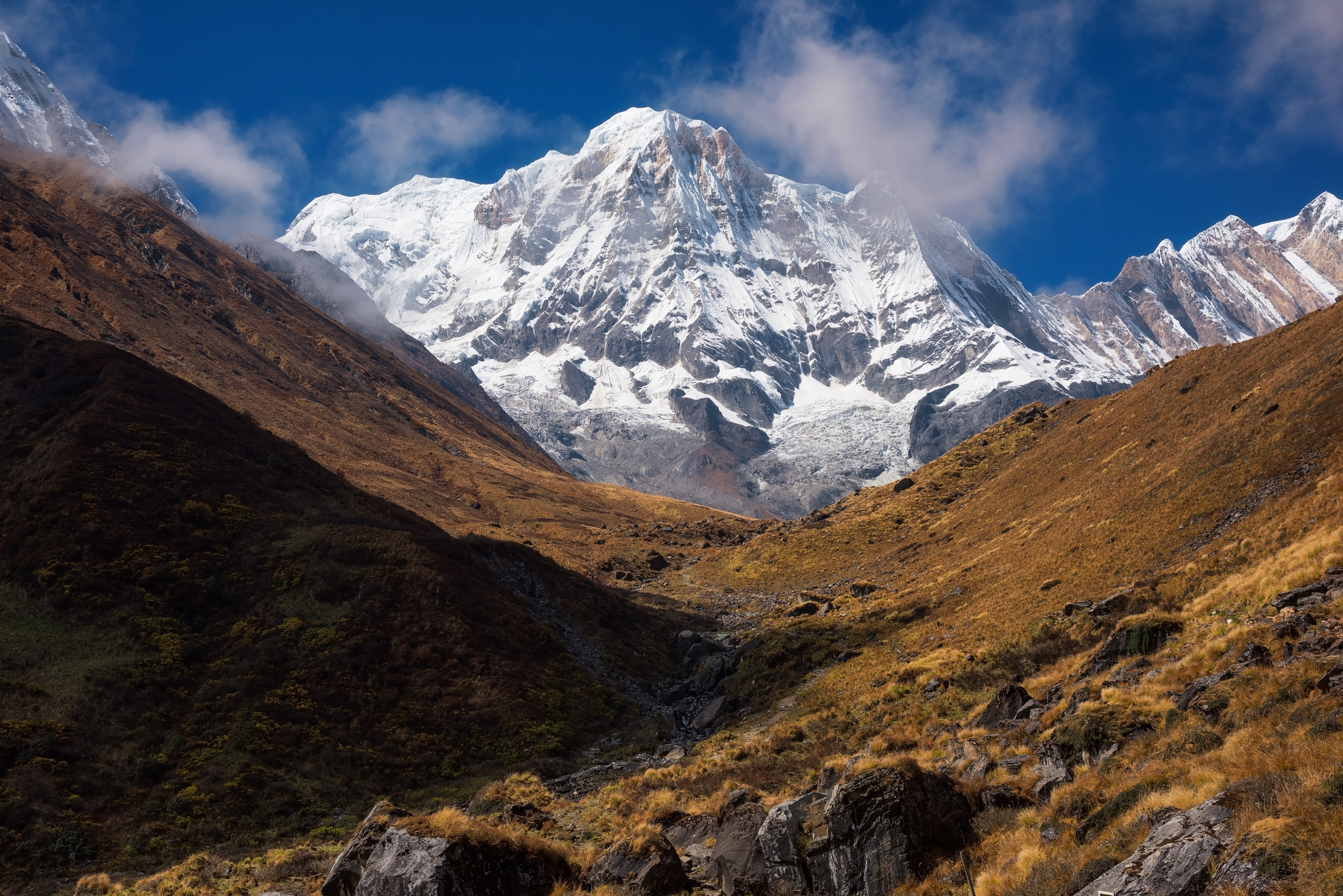
The ever-snow-clad Mt Annapurna I is 8,091 m above sea level
It's therefore important that you tackle the ascent slowly (over a few days) in order to avoid developing the altitude sickness. (If you're unfamiliar with altitude sickness, please read How to acclimatise for a trek in Nepal.)
You also need to be fit and have decent endurance to manage the long and at times steep ascents and descents.
Daily elevation gains on the Annapurna Circuit
The tables below show the altitude gain of each day on the Annapurna Circuit route as offered by Follow Alice – first in metres, then in feet. (Note that some operators start lower or higher along the traditional Annapurna Circuit route; we prefer to skip most of the way that you can now travel by car, offering only the remotest and most scenic section of the famed trail.)
Daily elevation gains in metres
* This is a roundtrip day hike to a very pretty high-altitude lake.

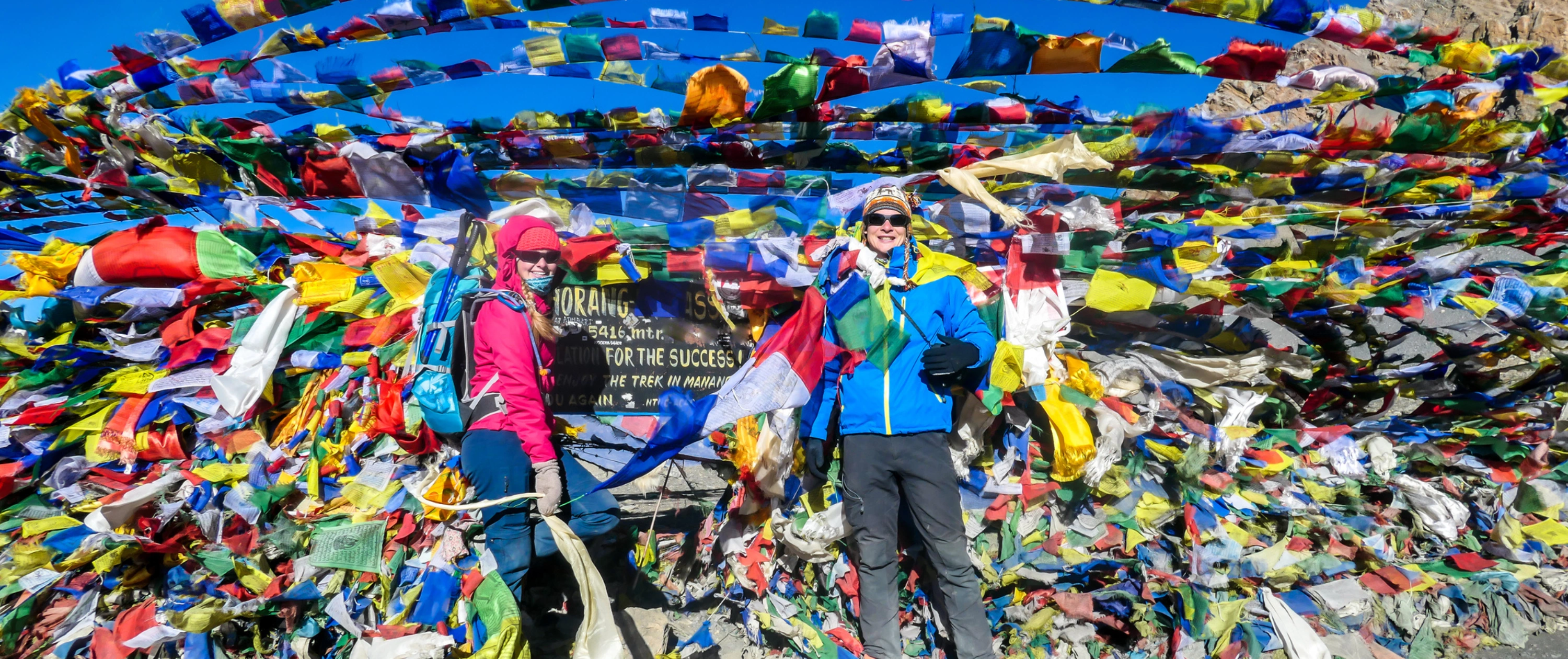
Celebratory shot at Thorung La!
Daily elevation gains in feet
Why we hang out in Manang for 3 nights
As you saw in the tables above, you spend three nights in the town of Manang early on in the trek to allow you to acclimatise properly.

Think you can handle spending a few nights here?
There are great day hikes you can do from Manang to higher elevations, which we encourage you to do as they help you to acclimatise (acclimate) even better before pushing on. The day hike to Kicho Tal is included as part of your itinerary, though it's up to you if you want to join or not.
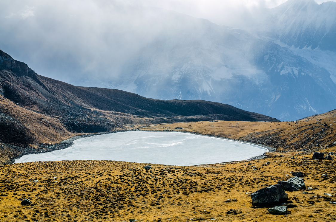
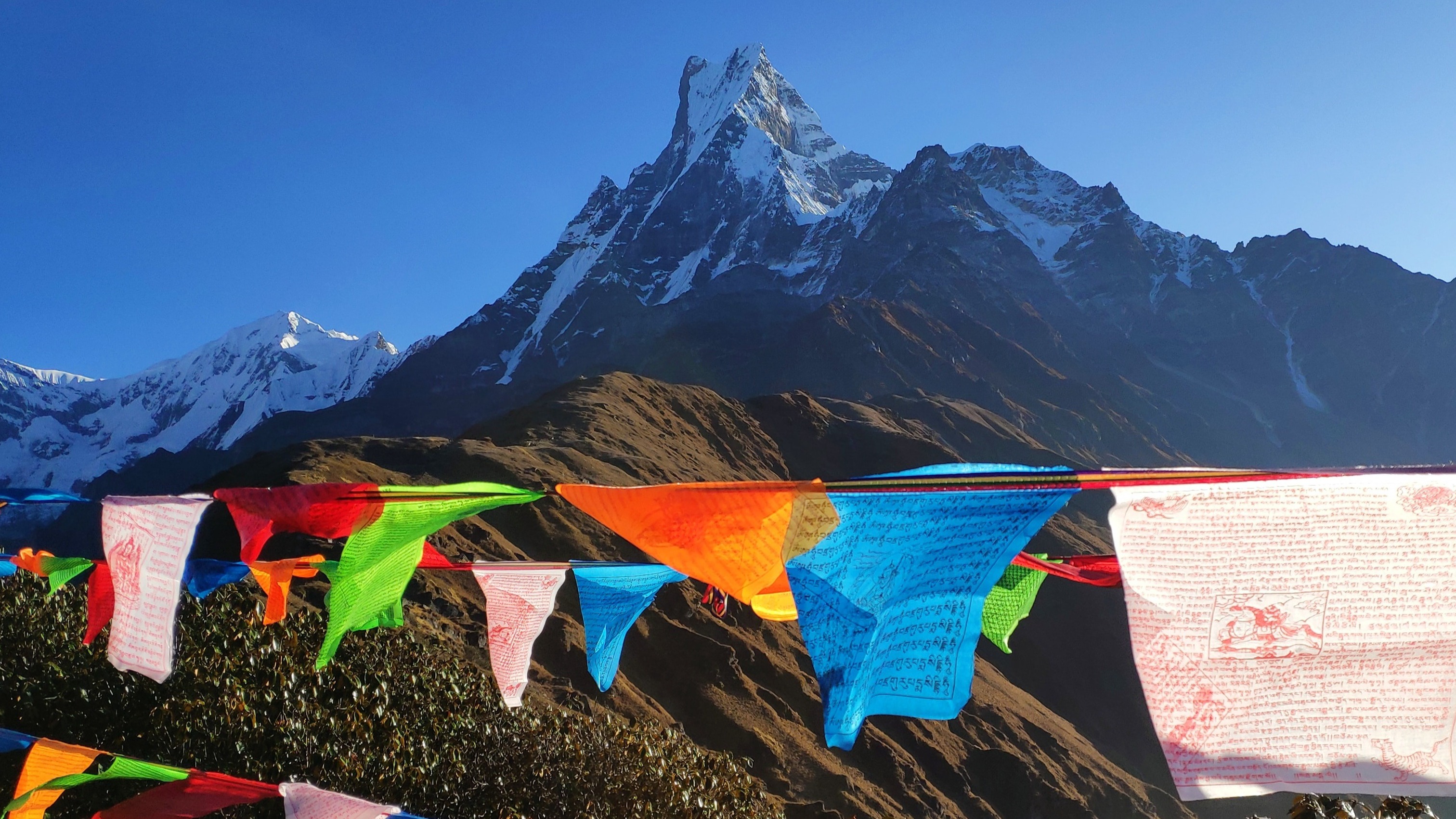
The beautiful Kicho Tal is a great day's hike from Manang
For a full breakdown of the Annapurna Circuit route and how long you trek each day, please read What does the Annapurna Circuit route look like?